Image - 2026-06-05 11:17
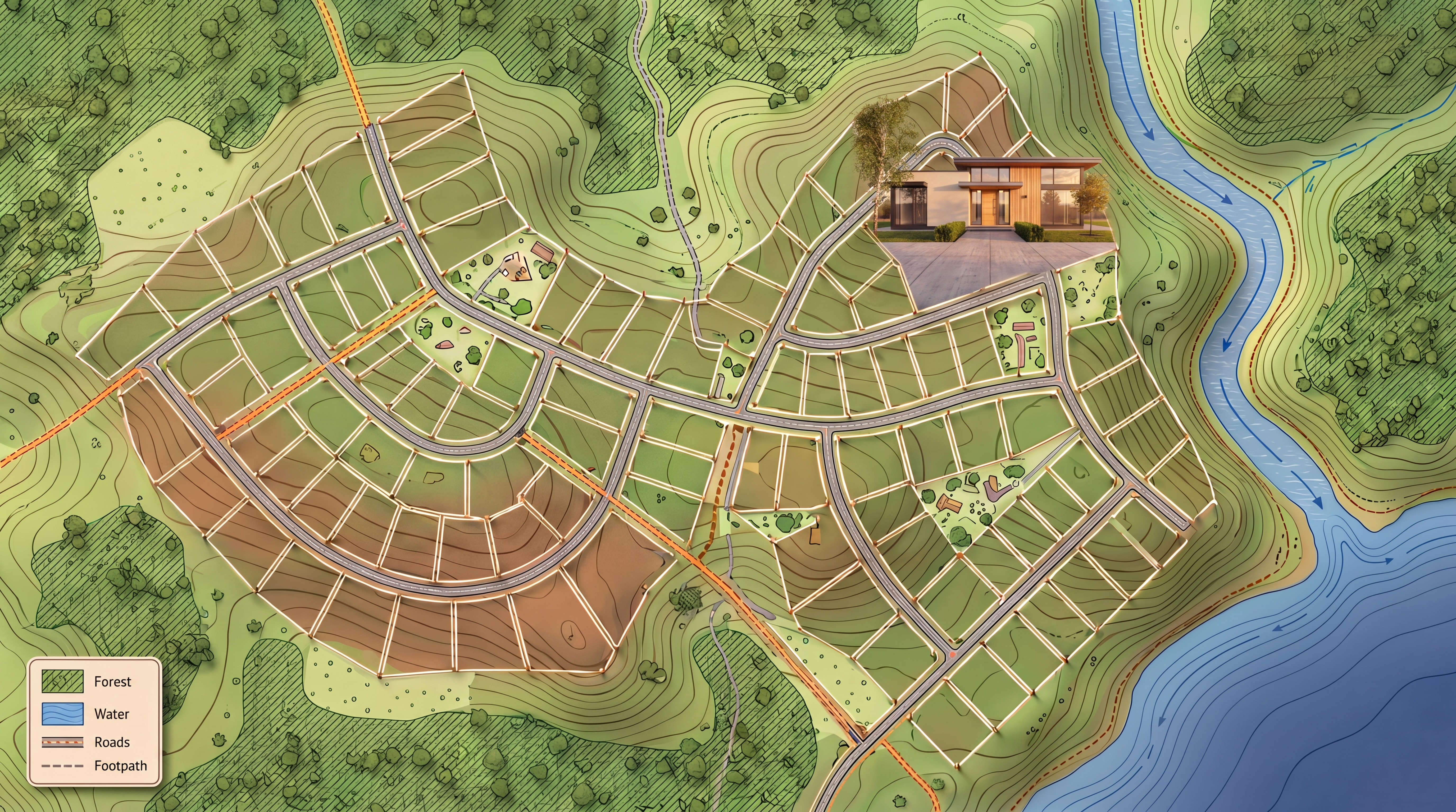
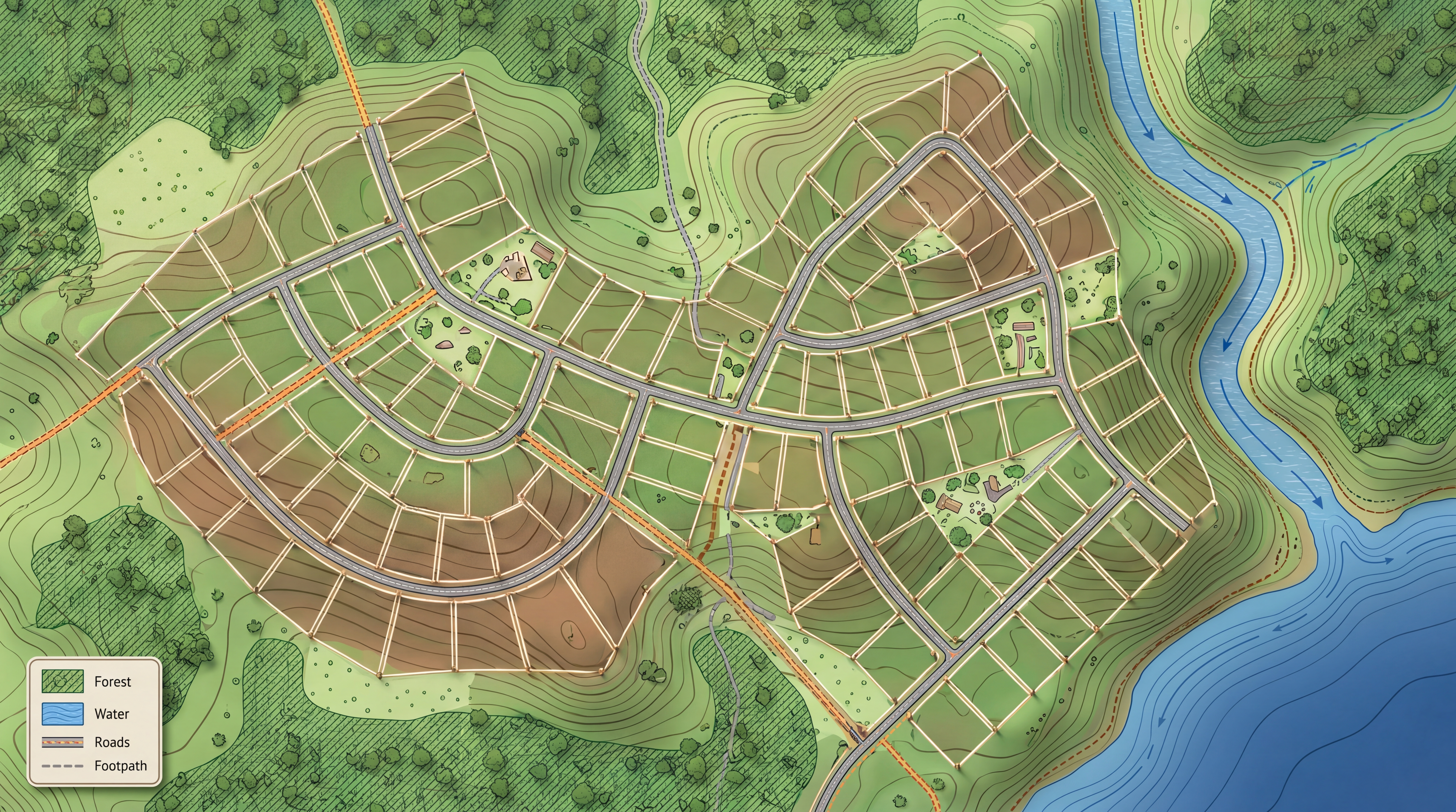
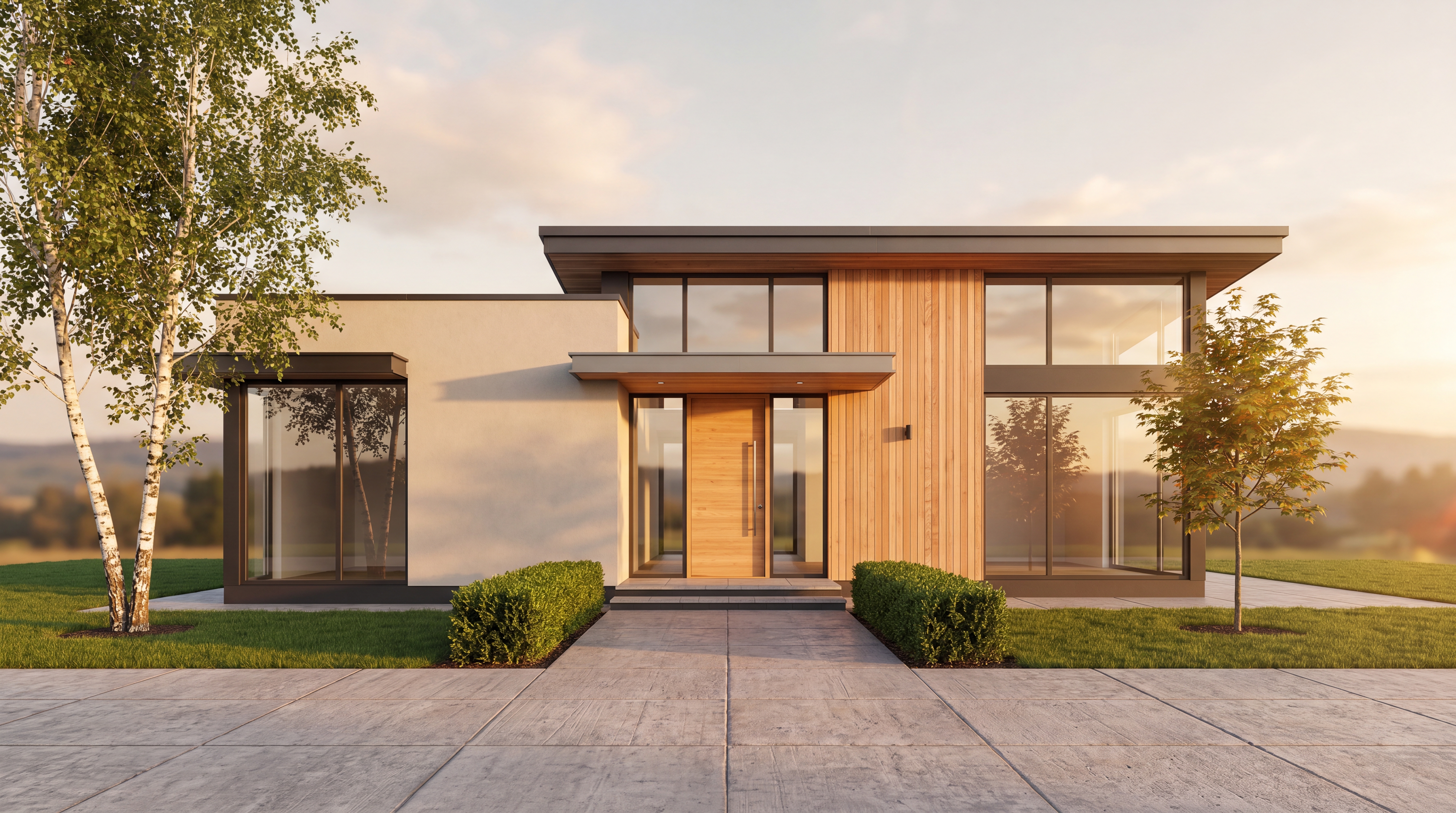
Create a text‑free advertising banner for selling land plots. Image size: 6 meters wide and 2 meters high (aspect ratio 3:1). The visualization should be in the style of a detailed topographic map with photorealistic elements — realistic textures, but presented in a map format. High resolution (8K). Main image elements: Map of the area (in topographic map style): the map features many land plots (at least 30–40), varying in shape and size; plot boundaries are clearly marked with thin light‑colored lines (like on a cadastral map), with small markers or stakes at the corners of the plots; plots are arranged in an organized manner, forming streets or blocks, with slight natural asymmetry; use contour lines (isohypses) to indicate terrain relief; add symbols (a map legend in a corner, without text): icons for forest, water, roads, and footpaths. Natural features (in cartographic style): on one side of the map (e.g., right or left) — a river or small body of water, depicted with blue lines and flow direction arrows; in another part of the map — a section of sea/lake, shown as a solid blue fill with subtle wave‑like patterns; around the perimeter or between plots — forest zones, marked with a green fill and a dotted or hatched pattern (to simulate tree crowns); small meadows — light green fill with sparse dots; shrubs — individual small symbols; footpaths — dashed lines. Landscape details (in cartographic styling): slightly hilly terrain: show this with contour lines of varying density; soil zones (loam, sandy areas) — brown fill in different shades; dirt roads — orange or brown dashed lines; paved paths — gray solid lines with a double border; include several symbols for recreational areas, playgrounds, or common‑use zones (without labels). Lighting and atmosphere (simulating lighting on a map): a “3D map” effect: subtle shadows under plots and along contour lines to create a 3D look; color palette — vibrant but conventional map colors: green (different shades for forest, meadows, lawns); blue (different shades for river, lake, sea); brown (terrain, dirt roads); gray (asphalt); orange (soil, footpaths). Technical requirements: no text — no labels, numbers, logos, phone numbers, or place names; high resolution, sharp details (so plot boundaries, contour lines, and symbols are clearly visible); style — topographic map with photorealistic elements (textures of grass, water, and asphalt should be recognizable, but not dominate the cartographic style); balanced composition: plots occupy the main part of the frame, natural features complement the scene without overshadowing it; format: clean lines, contrasting colors, good readability of all elements from a distance.
Free to start · Generate videos and images with AI in seconds
More from this creator

More Kie.ai images
См. все →