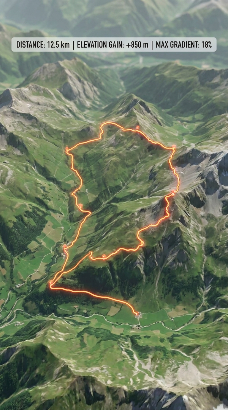
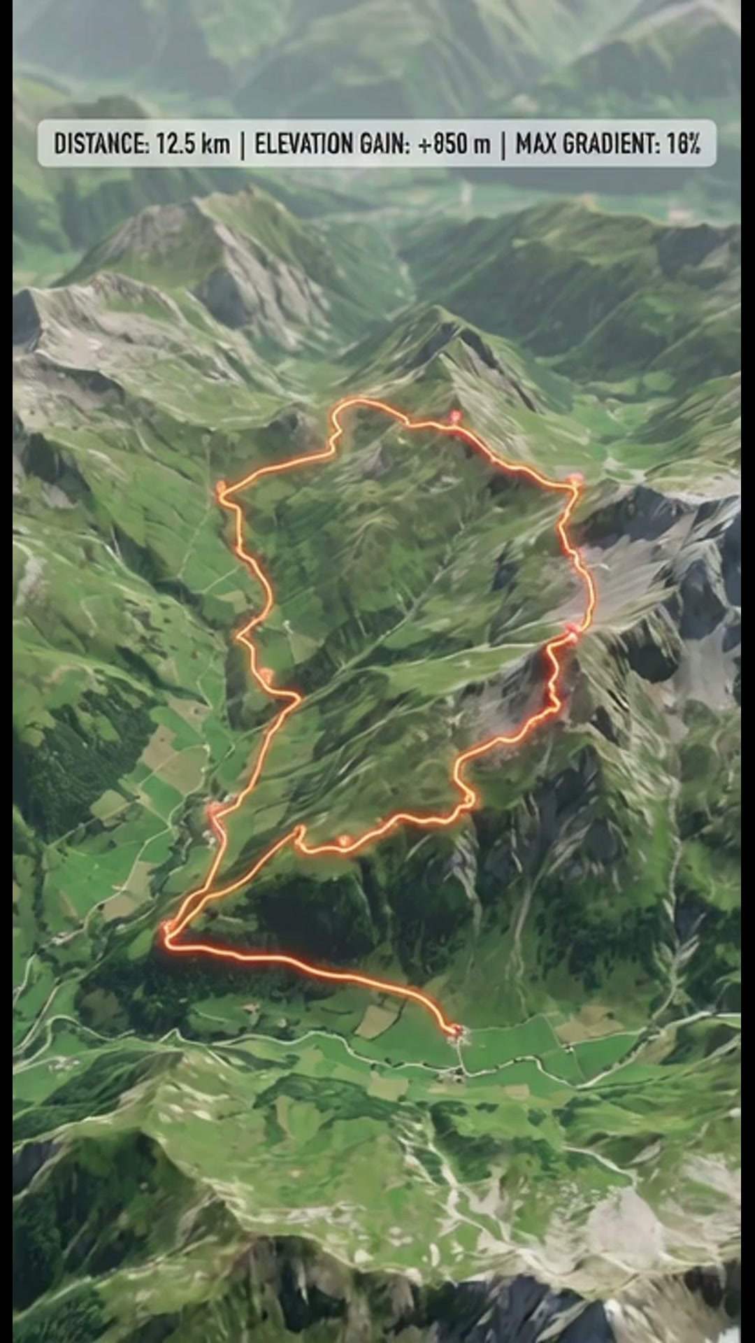
Art style: 3D satellite map terrain animation.
A 3D satellite map of the Swiss Alps showing green valleys and rocky peaks. A vibrant orange line traces a winding hiking path. White sans-serif text at the top displays distance, elevation, and gradient statistics.
━━━━━━━━━━━━━━━━━━━━━━━━━━━━━━━━━━━━━━
FINAL STYLE ENFORCEMENT (this is the authoritative rendering directive — it overrides any style wording elsewhere in the prompt):
Render this image entirely in "3D satellite map terrain animation" style. Match the lighting grammar, material response, colour science, level of realism / stylisation, line weight, and shading model typical of "3D satellite map terrain animation". Keep the subject, composition, camera angle, lighting direction, and colour palette from the description above — but EVERY surface, skin, fabric, material, and environmental element must be rendered in the "3D satellite map terrain animation" idiom, not in any other medium.

